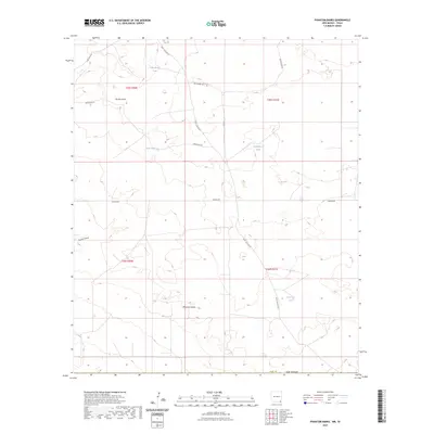
2023 Map of Phantom Banks
USGS Topo · Published 2023About this map
Phantom Banks and the surrounding arid landscape of southern Eddy County are characterized by a network of drainage features and water management infrastructure essential for this region. The terrain is marked by prominent depressions like Brushy Draw and Tucker Draw, while the sparse human footprint is defined by a utilitarian road system including Buck Jackson Rd and Hedgehog Rd. Ranching and resource extraction history is evident through the numerous water tanks scattered across the quadrangle, such as Big Seep Tank, Cockleberry Tank, and Lone Tree Tank. These features, along with the notable Pipeline Rd, reveal a landscape shaped by the practical needs of water storage and industrial access in the New Mexico desert.
Find a feature on this map
18 named features on this map. Tap any name to fly to it.
Don’t see what you’re looking for? This feature index may not catch every label — zoom into the map to look around manually.
Map Details
Editions of this 2023 Phantom Banks Map
This is the sole edition of this map. No revisions or reprints were ever made.
Other maps of this area

1925 · Orla 2-b
USGS Topo · 1:48,000

1931 · Orla
USGS Topo · 1:62,500

1954 · Hobbs
USGS Topo · 1:250,000

1954 · Pecos
USGS Topo · 1:250,000

1957 · Pecos
USGS Topo · 1:250,000

1958 · Hobbs
USGS Topo · 1:250,000
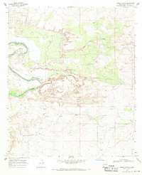
1968 · Pierce Canyon
USGS Topo · 1:24,000

1968 · Orla NE
USGS Topo · 1:24,000
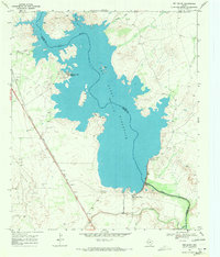
1968 · Red Bluff
USGS Topo · 1:24,000

1968 · Phantom Banks
USGS Topo · 1:24,000