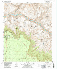
1988 Map of Phantom Ranch
USGS Topo · Published 1988About this map
Phantom Ranch serves as the focal point of this 1980s landscape, positioned near the confluence of Bright Angel Creek and the Colorado River. The area illustrates the complex topography of Grand Canyon National Park, where the river cuts deeply through the Granite Gorge. Infrastructure for backcountry access is evident through the network of footbridges and gaging stations that support travel and monitoring within the canyon floor. Distinctive geological formations like Cheops Pyramid, Zoroaster Temple, and Ottoman Amphitheater define the horizon, while the descent from the south rim is traced by the Kaibab Trail and Bright Angel Trail.
Find a feature on this map
55 named features on this map. Tap any name to fly to it.
Don’t see what you’re looking for? This feature index may not catch every label — zoom into the map to look around manually.
Map Details
Editions of this 1988 Phantom Ranch Map
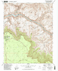
2 editions found
Other maps of this area

1886 · San Francisco Mtns
USGS Topo · 1:250,000

1886 · Chino
USGS Topo · 1:250,000

1886 · Echo Cliffs
USGS Topo · 1:250,000

1886 · Kaibab
USGS Topo · 1:250,000

1891 · San Francisco Mtns
USGS Topo · 1:250,000

1891 · Chino
USGS Topo · 1:250,000

1891 · Echo Cliffs
USGS Topo · 1:250,000

1894 · San Francisco Mtns
USGS Topo · 1:250,000

1899 · San Francisco Mtns
USGS Topo · 1:250,000

1903 · Bright Angel
USGS Topo · 1:48,000