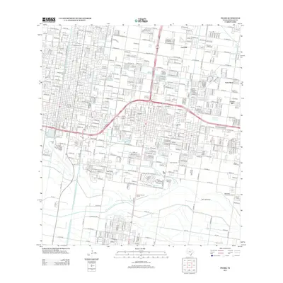
2013 Map of Pharr
USGS Topo · Published 2013About this map
Lopezville and North Alamo anchor the northern reaches of this Hidalgo County landscape, where the dense residential grid of the Rio Grande Valley meets a complex network of resource extraction and irrigation. The map reveals a land defined by industrial activity, featuring the Whitted Gas Field, McAllen Gas Field, and Pharr Gas Field, alongside the Shepherd Gas and Oil Field further south.
Find a feature on this map
106 named features on this map. Tap any name to fly to it.
Don’t see what you’re looking for? This feature index may not catch every label — zoom into the map to look around manually.
Map Details
Editions of this 2013 Pharr Map
This is the sole edition of this map. No revisions or reprints were ever made.
Other maps of this area

1914 · San Juan
USGS Topo · 1:48,000

1916 · San Juan
USGS Topo · 1:62,500

1940 · Monte Christo
USGS Topo · 1:62,500

1949 · Mc Allen
USGS Topo · 1:250,000

1954 · McAllen
USGS Topo · 1:250,000

1957 · Mc Allen
USGS Topo · 1:250,000

1962 · McAllen
USGS Topo · 1:250,000
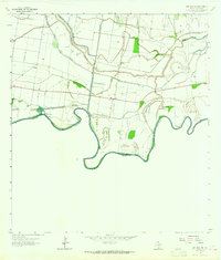
1962 · San Juan SE
USGS Topo · 1:24,000
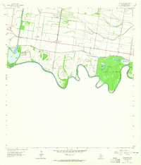
1962 · Las Milpas
USGS Topo · 1:24,000

1963 · Edinburg
USGS Topo · 1:24,000