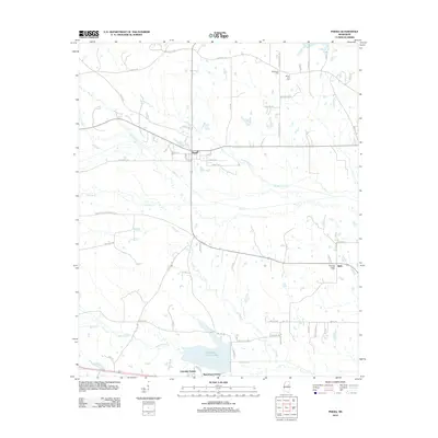
2012 Map of Pheba
USGS Topo · Published 2012About this map
Pheba and the small crossroads of Bells anchor this portion of the northern Mississippi interior, where the landscape is defined by a dense network of creek branches and seasonal drainages. The southern portion of the sheet is dominated by the Oktibbeha County Lake reservoir, which has spurred modern residential development in Lakeside Estates and Waterfront Estates. Historically, the area's rural character is evidenced by numerous family-named roads such as Polly Bell Rd, Tom Valentine Rd, and Maben Bell Schoolhouse Rd, marking the path of legacy homesteads.
Find a feature on this map
65 named features on this map. Tap any name to fly to it.
Don’t see what you’re looking for? This feature index may not catch every label — zoom into the map to look around manually.
Map Details
Editions of this 2012 Pheba Map
This is the sole edition of this map. No revisions or reprints were ever made.
Other maps of this area

1953 · West Point
USGS Topo · 1:250,000

1958 · West Point
USGS Topo · 1:250,000

1959 · Pheba
USGS Topo · 1:62,500

1963 · West Point
USGS Topo · 1:250,000

1965 · Starkville
USGS Topo · 1:24,000

1965 · Longview
USGS Topo · 1:24,000

1972 · Maben
USGS Topo · 1:24,000

1972 · Mantee
USGS Topo · 1:24,000

1972 · Double Springs
USGS Topo · 1:24,000

1982 · West Point
USGS Topo · 1:100,000