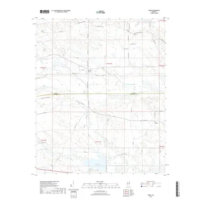
2018 Map of Pheba
USGS Topo · Published 2018About this map
Pheba serves as the central hub of this modern survey of the Clay and Oktibbeha county line. The landscape is defined by its dendritic drainage systems, including Sixmile Cr and Double Cabin Cr, which cut through a network of rural roads that often follow old family and schoolhouse routes. Notable among these is the N Maben Bell Schoolhouse Rd, hinting at the historical educational geography of the area. To the south, the Oktibbeha County Lake provides a significant water feature, while scattered small cemeteries like Mount Zion Cem and Pearsons Chapel Cem offer touchpoints for genealogical research. The map illustrates a rural Mississippi landscape where traditional land divisions meet modern infrastructure, preserving the names of local arteries like Pheba-Beasley Rd and Polly Bell RD.
Find a feature on this map
58 named features on this map. Tap any name to fly to it.
Don’t see what you’re looking for? This feature index may not catch every label — zoom into the map to look around manually.
Map Details
Editions of this 2018 Pheba Map
This is the sole edition of this map. No revisions or reprints were ever made.
Other maps of this area

1953 · West Point
USGS Topo · 1:250,000

1958 · West Point
USGS Topo · 1:250,000

1959 · Pheba
USGS Topo · 1:62,500

1963 · West Point
USGS Topo · 1:250,000

1965 · Starkville
USGS Topo · 1:24,000

1965 · Longview
USGS Topo · 1:24,000

1972 · Maben
USGS Topo · 1:24,000

1972 · Mantee
USGS Topo · 1:24,000

1972 · Double Springs
USGS Topo · 1:24,000

1982 · West Point
USGS Topo · 1:100,000