2021 Map of Phelan
USGS Topo · Published 2021About this map
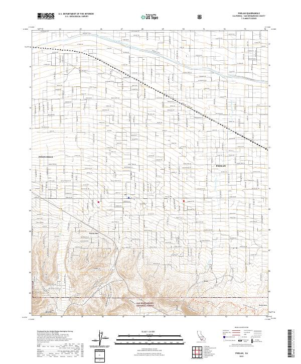
Piñon Hills and Phelan define the settled landscape of the high desert, where a dense grid of residential roads meets the rising slopes of the San Gabriel Mountains. This 2021 survey illustrates how modern infrastructure, specifically the Governor Edmund G. Brown-East Branch California Aqueduct, cuts across the arid basin to sustain these growing communities. The transition from town to wilderness is abrupt, as the organized streets of Phelan Rd and Luna Rd give way to the protected expanse of the San Bernardino National Forest.
Find a feature on this map
43 named features on this map. Tap any name to fly to it.
Don’t see what you’re looking for? This feature index may not catch every label — zoom into the map to look around manually.
Map Details
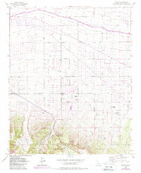
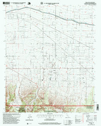
Editions of this 2021 Phelan Map
This is the sole edition of this map. No revisions or reprints were ever made.
Historical Maps of Yucca Inn Through Time
3 maps found
Featured Locations
- Phelan, CA
- Piñon Hills, CA
- Mountain Top Junction, Phelan
- Wildhorse Canyon, Piñon Hills
- Yucca Inn, Piñon Hills