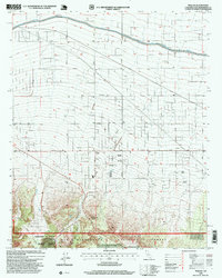
1996 Map of Phelan
USGS Topo · Published 1999About this map
Phelan and its surrounding high-desert homesteads are captured here in the late 1990s, revealing a landscape defined by both massive infrastructure and historic ranching. The California Aqueduct carves a prominent path across the northern reaches, accompanied by the California Aqueduct Road. To the south, the terrain rises sharply into the San Bernardino National Forest, where the deep incisions of Cajon Canyon and Horse Canyon dominate the topography. Family ranching legacies are visible through named properties like Johnson Ranch, Wilson Ranch, Buttemer Ranch, and Goss Ranch. Along the southern forest boundary, Mountain Top Junction and the Yucca Inn mark key transition points where the valley floor meets the steep mountain slopes. The map also traces the winding course of Sheep Creek, illustrating the drainage patterns that have shaped this portion of the Victor Valley.
Find a feature on this map
33 named features on this map. Tap any name to fly to it.
Don’t see what you’re looking for? This feature index may not catch every label — zoom into the map to look around manually.
Map Details
Editions of this 1996 Phelan Map
This is the sole edition of this map. No revisions or reprints were ever made.
Other maps of this area

1901 · Southern California Sheet No. 1
USGS Topo · 1:250,000

1902 · Hesperia
USGS Topo · 1:62,500

1903 · San Antonio
USGS Topo · 1:62,500

1904 · Southern California Sheet No. 1
USGS Topo · 1:250,000

1930 · Angle
USGS Topo · 1:24,000

1932 · Angle
USGS Topo · 1:24,000

1932 · Barstow
USGS Topo · 1:125,000

1934 · Barstow
USGS Topo · 1:125,000
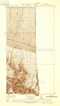
1934 · Boneyard Canyon
USGS Topo · 1:24,000
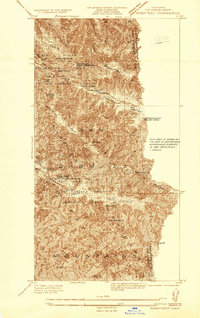
1936 · Swarthout
USGS Topo · 1:24,000