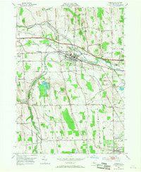
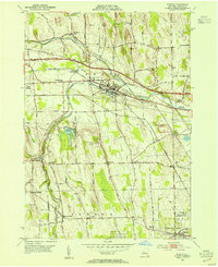
1953 Map of Phelps
USGS Topo · Published 1968About this map
Phelps and the surrounding Finger Lakes agricultural country are defined here by a dense network of water and rail. The Canandaigua Outlet meanders across the northern half of the sheet, paralleled by the New York Central and Lehigh Valley railroads, which meet at the vital interchange of Phelps Junction. To the south, Flint Creek carves through the landscape toward Seneca Castle, supporting smaller rural clusters like Orleans and Warner Corners.
Find a feature on this map
66 named features on this map. Tap any name to fly to it.
Don’t see what you’re looking for? This feature index may not catch every label — zoom into the map to look around manually.
Map Details
Editions of this 1953 Phelps Map
2 editions found
Other maps of this area

1899 · Palmyra
USGS Topo · 1:62,500

1902 · Geneva
USGS Topo · 1:62,500

1902 · Clyde
USGS Topo · 1:62,500

1902 · Phelps
USGS Topo · 1:62,500

1902 · Palmyra
USGS Topo · 1:62,500

1942 · Rushville
USGS Topo · 1:31,680

1942 · Stanley
USGS Topo · 1:31,680

1943 · Lyons
USGS Topo · 1:31,680

1943 · Geneva North
USGS Topo · 1:31,680

1943 · Geneva South
USGS Topo · 1:31,680