
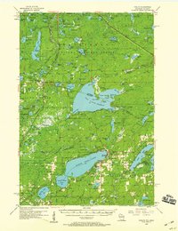
1956 Map of Phelps
USGS Topo · Published 1957About this map
Lac Vieux Desert straddles the border between Wisconsin and Michigan, anchoring a landscape of glacial lakes and dense timberlands during the mid-1950s. The region is defined by the intersection of the Ottawa National Forest and Nicolet National Forest, where conservation and industry met along the tracks of the Chicago and North Western railroad. The map highlights the cultural heritage of the area, specifically identifying the Kataktikon Indian Village on the northern shore of the lake. Settlements like Land O'Lakes and Phelps serve as gateways to the surrounding wilderness, which is dotted with isolated water bodies such as Beaver Station Lake and Chickadee Lake. Notable landmarks like the Lookout Tower near Military Hill reflect the era's focus on forest fire management across this interconnected aquatic network.
Find a feature on this map
127 named features on this map. Tap any name to fly to it.
Don’t see what you’re looking for? This feature index may not catch every label — zoom into the map to look around manually.
Map Details
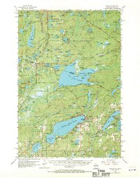
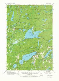
Editions of this 1956 Phelps Map
4 editions found
Other maps of this area

1928 · Three Lakes
USGS Topo · 1:48,000

1930 · Robbins
USGS Topo · 1:48,000

1938 · Phelps
USGS Topo · 1:48,000

1938 · Alvin
USGS Topo · 1:48,000

1938 · Three Lakes
USGS Topo · 1:48,000

1938 · Robbins
USGS Topo · 1:48,000

1945 · Three Lakes
USGS Topo · 1:48,000

1945 · Robbins
USGS Topo · 1:48,000

1946 · Star Lake
USGS Topo · 1:48,000

1946 · Alvin
USGS Topo · 1:48,000