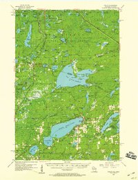
1956 Map of Phelps
USGS Topo · Published 1959About this map
Lac Vieux Desert straddles the border of Wisconsin and Michigan, anchoring a landscape defined by an immense network of lakes and marshes in the mid-1950s. This survey records the rural character of Vilas County just as modern recreation began to shape the Northwoods. The settlement of Phelps and the community of Land O'Lakes serve as the primary hubs, connected by the tracks of the Chicago And North Western railroad.
Find a feature on this map
131 named features on this map. Tap any name to fly to it.
Don’t see what you’re looking for? This feature index may not catch every label — zoom into the map to look around manually.
Map Details
Editions of this 1956 Phelps Map
4 editions found

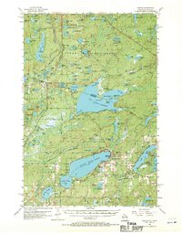
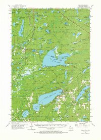
Other maps of this area

1928 · Three Lakes
USGS Topo · 1:48,000

1930 · Robbins
USGS Topo · 1:48,000

1938 · Phelps
USGS Topo · 1:48,000

1938 · Alvin
USGS Topo · 1:48,000

1938 · Three Lakes
USGS Topo · 1:48,000

1938 · Robbins
USGS Topo · 1:48,000

1945 · Three Lakes
USGS Topo · 1:48,000

1945 · Robbins
USGS Topo · 1:48,000

1946 · Star Lake
USGS Topo · 1:48,000

1946 · Alvin
USGS Topo · 1:48,000