
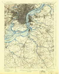
1896 Map of Philadelphia
USGS Topo · Published 1896About this map
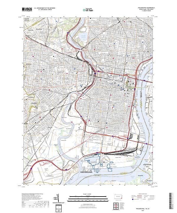
The Delaware River serves as the central artery for this 1894 survey, dividing the industrial and residential grid of Philadelphia from the emerging towns of southwestern New Jersey. The Pennsylvania side is dominated by the dense development of neighborhoods like Overbrook and Paschallville, leading down to the confluence with the Schuylkill River. Significant military and maritime sites are positioned along the riverbank, including the U.S. Navy Yard at League Id. and the defensive fortifications at Fort Mifflin.
Find a feature on this map
164 named features on this map. Tap any name to fly to it.
Don’t see what you’re looking for? This feature index may not catch every label — zoom into the map to look around manually.
Map Details
Editions of this 1896 Philadelphia Map
This is the sole edition of this map. No revisions or reprints were ever made.
Historical Maps of Fairview Through Time
10 maps found

1891 Philadelphia
Philadelphia County, PA

1894 Philadelphia
Philadelphia County, PA
1896 Philadelphia
Philadelphia County, PA
1898 Philadelphia
Philadelphia County, PA

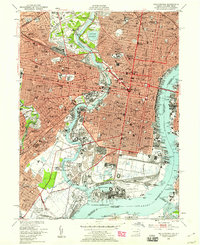
1920 Philadelphia
Philadelphia County, PA

1943 Philadelphia
Philadelphia County, PA
1949 Philadelphia
Philadelphia County, PA
1967 Philadelphia
Philadelphia County, PA
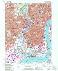
1995 Philadelphia
Philadelphia County, PA
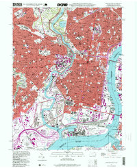
2023 Philadelphia
Philadelphia County, PA