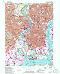
1967 Map of Philadelphia
USGS Topo · Published 1994About this map
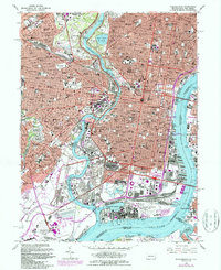
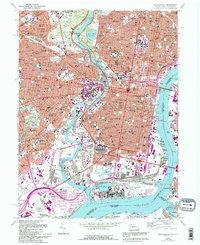
The Schuylkill River and Delaware River define this dense urban landscape, meeting at the massive industrial and military complex of the U S Naval Shipyard at League Island. This map documents a transitional era for South Philadelphia, showing the coexistence of modern landmarks like Veterans Stadium and Kennedy Stadium alongside deeply rooted religious and educational institutions. The residential fabric is punctuated by numerous parochial schools such as St Phillips Sch and Lady of Angels Sch, reflecting the city's established neighborhood identities.
Find a feature on this map
120 named features on this map. Tap any name to fly to it.
Don’t see what you’re looking for? This feature index may not catch every label — zoom into the map to look around manually.
Map Details
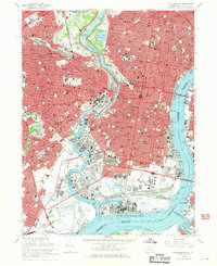
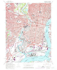
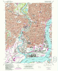
Editions of this 1967 Philadelphia Map
6 editions found
Other maps of this area

1891 · Philadelphia
USGS Topo · 1:62,500

1893 · Germantown
USGS Topo · 1:62,500

1894 · Chester
USGS Topo · 1:62,500

1894 · Philadelphia
USGS Topo · 1:62,500

1894 · Norristown
USGS Topo · 1:62,500

1894 · Germantown
USGS Topo · 1:62,500

1895 · Norristown
USGS Topo · 1:62,500

1896 · Germantown
USGS Topo · 1:62,500

1896 · Philadelphia
USGS Topo · 1:62,500

1896 · Norristown
USGS Topo · 1:62,500