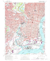
1967 Map of Philadelphia
USGS Topo · Published 1974About this map
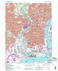
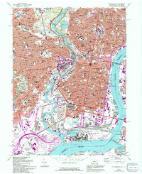
The Schuylkill River carves through the heart of this urban landscape, separating the academic core of the University of Pennsylvania and Drexel Institute of Technology from the dense city center. To the east, the historic core is anchored by Independence National Historical Park, while the southern riverfront is dominated by industrial and military infrastructure, including the U.S. Naval Base and the Philadelphia International Airport. This era captures a major sports complex in transition, showing both the classic Kennedy Stadium and the then-modern Veterans Stadium in the Roosevelt Park area. Further west, the map reveals extensive local history through its many parochial institutions like St Josephs College and significant burial grounds, notably the sprawling Mt Moriah Cemetery and the Woodlands Cemetery. The presence of the State Hospital for the Insane and the rail corridors of the Reading and Penn Central lines reflect the city's complex social and industrial layers.
Find a feature on this map
158 named features on this map. Tap any name to fly to it.
Don’t see what you’re looking for? This feature index may not catch every label — zoom into the map to look around manually.
Map Details
Editions of this 1967 Philadelphia Map
6 editions found
Other maps of this area

1891 · Philadelphia
USGS Topo · 1:62,500

1893 · Germantown
USGS Topo · 1:62,500

1894 · Chester
USGS Topo · 1:62,500

1894 · Philadelphia
USGS Topo · 1:62,500

1894 · Norristown
USGS Topo · 1:62,500

1894 · Germantown
USGS Topo · 1:62,500

1895 · Norristown
USGS Topo · 1:62,500

1896 · Germantown
USGS Topo · 1:62,500

1896 · Philadelphia
USGS Topo · 1:62,500

1896 · Norristown
USGS Topo · 1:62,500