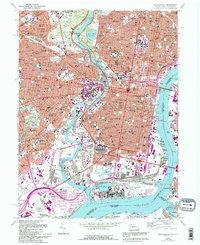
1967 Map of Philadelphia
USGS Topo · Published 1994About this map
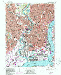
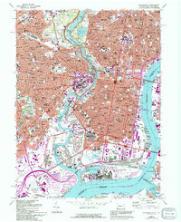
Philadelphia's industrial and civic density is captured here in a 1967 survey revised through 1994, revealing a city defined by its dual riverfronts and massive infrastructure. The Schuylkill River snakes through the heart of the grid, flanked by the sprawling Fairmount Park and the academic campuses of Drexel Univ and the Univ of Pennsylvania. To the south, the scale of mid-century federal and athletic investment is evident in the cluster containing the U S Naval Shipyard, U S Naval Hospital, and the sports complex featuring Veterans Stadium and Kennedy Stadium. Across the Delaware River, the map documents the New Jersey shoreline at Gloucester City and Westville. This edition is particularly valuable for its purple-tinted revision layer, which visually separates newer urban developments from the established 1960s footprint of neighborhoods like Overbrook and Kensington.
Find a feature on this map
68 named features on this map. Tap any name to fly to it.
Don’t see what you’re looking for? This feature index may not catch every label — zoom into the map to look around manually.
Map Details
Editions of this 1967 Philadelphia Map
6 editions found
Other maps of this area

1891 · Philadelphia
USGS Topo · 1:62,500

1893 · Germantown
USGS Topo · 1:62,500

1894 · Chester
USGS Topo · 1:62,500

1894 · Philadelphia
USGS Topo · 1:62,500

1894 · Norristown
USGS Topo · 1:62,500

1894 · Germantown
USGS Topo · 1:62,500

1895 · Norristown
USGS Topo · 1:62,500

1896 · Germantown
USGS Topo · 1:62,500

1896 · Philadelphia
USGS Topo · 1:62,500

1896 · Norristown
USGS Topo · 1:62,500