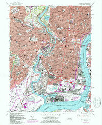
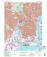
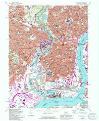
1967 Map of Philadelphia
USGS Topo · Published 1987About this map
The Schuylkill River and Delaware River define the dense urban landscape of this mid-century survey, updated in the 1980s. The city's massive institutional footprint is visible through the sprawling campuses of the University of Pennsylvania, Temple University, and Girard College. Significant cultural and civic landmarks include the Museum of Art overlooking Lemon Hill and the Independence National Historical Park in the historic core.
Find a feature on this map
97 named features on this map. Tap any name to fly to it.
Don’t see what you’re looking for? This feature index may not catch every label — zoom into the map to look around manually.
Map Details
Editions of this 1967 Philadelphia Map
6 editions found
Other maps of this area

1891 · Philadelphia
USGS Topo · 1:62,500

1893 · Germantown
USGS Topo · 1:62,500

1894 · Chester
USGS Topo · 1:62,500

1894 · Philadelphia
USGS Topo · 1:62,500

1894 · Norristown
USGS Topo · 1:62,500

1894 · Germantown
USGS Topo · 1:62,500

1895 · Norristown
USGS Topo · 1:62,500

1896 · Germantown
USGS Topo · 1:62,500

1896 · Philadelphia
USGS Topo · 1:62,500

1896 · Norristown
USGS Topo · 1:62,500