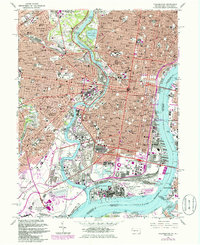
1967 Map of Philadelphia
USGS Topo · Published 1985About this map
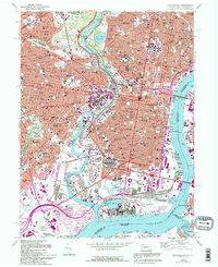
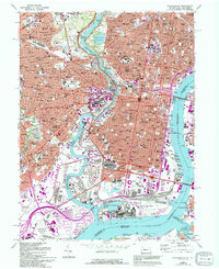
Fairmount Park and the winding Schuylkill River anchor this dense urban survey, which captures the city during a period of massive infrastructure growth and industrial maturity. The map documents the extensive rail network under Conrail and the heavy concentration of civic and medical institutions, from the Museum of Art and Temple University to the sprawling State Hospital for the Insane. In South Philadelphia, the transition from sports culture at Veterans Stadium and Kennedy Stadium to the maritime industry of the U S Naval Shipyard is clearly delineated.
Find a feature on this map
136 named features on this map. Tap any name to fly to it.
Don’t see what you’re looking for? This feature index may not catch every label — zoom into the map to look around manually.
Map Details
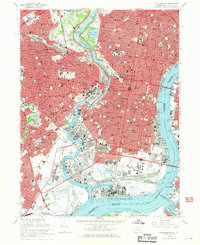
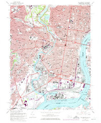
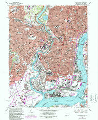
Editions of this 1967 Philadelphia Map
6 editions found
Other maps of this area

1891 · Philadelphia
USGS Topo · 1:62,500

1893 · Germantown
USGS Topo · 1:62,500

1894 · Chester
USGS Topo · 1:62,500

1894 · Philadelphia
USGS Topo · 1:62,500

1894 · Norristown
USGS Topo · 1:62,500

1894 · Germantown
USGS Topo · 1:62,500

1895 · Norristown
USGS Topo · 1:62,500

1896 · Germantown
USGS Topo · 1:62,500

1896 · Philadelphia
USGS Topo · 1:62,500

1896 · Norristown
USGS Topo · 1:62,500