
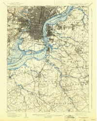
1920 Map of Philadelphia
USGS Topo · Published 1920About this map
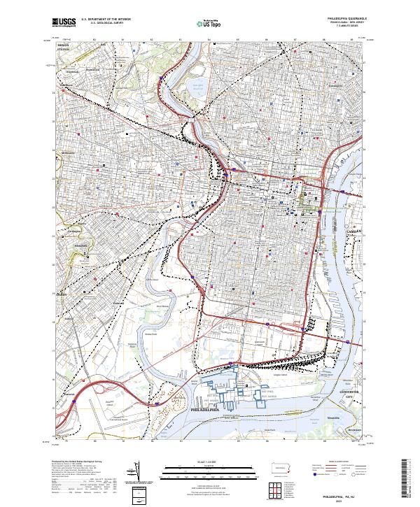
The Delaware River serves as the central artery for this industrial and maritime corridor, separating the dense street grids of Philadelphia from the growing suburbs of New Jersey. On the Pennsylvania side, the U.S. Navy Yard and Fort Mifflin dominate the southern riverbank, while Fairmount Park and the Schuylkill River define the northwestern geography. The landscape is heavily marked by a complex web of competing rail lines, such as the Phila. & Reading R.R. and West Jersey and Seashore R.R., which facilitate the movement of goods and passengers between the city and coastal destinations.
Find a feature on this map
173 named features on this map. Tap any name to fly to it.
Don’t see what you’re looking for? This feature index may not catch every label — zoom into the map to look around manually.
Map Details
Editions of this 1920 Philadelphia Map
This is the sole edition of this map. No revisions or reprints were ever made.
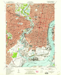
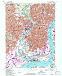
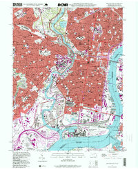
Historical Maps of Fairview Through Time
10 maps found

1891 Philadelphia
Philadelphia County, PA

1894 Philadelphia
Philadelphia County, PA

1896 Philadelphia
Philadelphia County, PA
1898 Philadelphia
Philadelphia County, PA
1920 Philadelphia
Philadelphia County, PA

1943 Philadelphia
Philadelphia County, PA
1949 Philadelphia
Philadelphia County, PA
1967 Philadelphia
Philadelphia County, PA
1995 Philadelphia
Philadelphia County, PA
2023 Philadelphia
Philadelphia County, PA