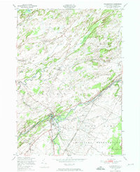
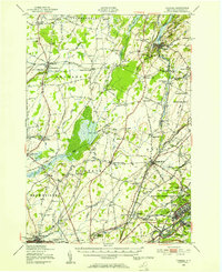
1949 Map of Philadelphia
USGS Topo · Published 1974About this map
The village of Philadelphia serves as the central hub of this mid-century landscape, where the New York Central rail lines intersect near the banks of the Indian River. This junction area exhibits a dense concentration of local heritage sites, including the Quaker Cemetery and School No 9. Moving south of the village, the terrain transitions into the Pine Camp Military Reservation, a significant land use that borders the rural town of Wilna.
Find a feature on this map
28 named features on this map. Tap any name to fly to it.
Don’t see what you’re looking for? This feature index may not catch every label — zoom into the map to look around manually.
Map Details
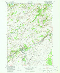
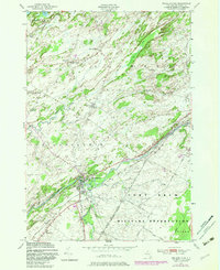
Editions of this 1949 Philadelphia Map
Other maps of this area

1903 · Alexandria Bay
USGS Topo · 1:62,500

1903 · Theresa
USGS Topo · 1:62,500

1911 · Antwerp
USGS Topo · 1:62,500

1912 · Hammond
USGS Topo · 1:62,500

1943 · Redwood
USGS Topo · 1:31,680

1944 · Hammond
USGS Topo · 1:62,500

1948 · Theresa
USGS Topo · 1:24,000
1948 · Black River
USGS Topo · 1:24,000
1948 · Theresa
USGS Topo · 1:62,500

1948 · Alexandria Bay
USGS Topo · 1:62,500