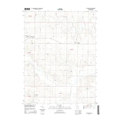
2014 Map of Philadelphia
USGS Topo · Published 2014About this map
Philadelphia and the surrounding township lands of Marion County define this rural landscape as it appeared in the early 21st century. The map centers on a region shaped by its waterways, most notably the South Fabius River in the north and the winding North River which cuts through the southern sections. This area is characterized by scattered rural settlements such as Little Union and Newmarket, connected by a grid of county roads that navigate the local topography.
Find a feature on this map
59 named features on this map. Tap any name to fly to it.
Don’t see what you’re looking for? This feature index may not catch every label — zoom into the map to look around manually.
Map Details
Editions of this 2014 Philadelphia Map
This is the sole edition of this map. No revisions or reprints were ever made.
Other maps of this area

1903 · Palmyra
USGS Topo · 1:125,000

1948 · Quincy
USGS Topo · 1:250,000

1949 · Durham
USGS Topo · 1:24,000

1949 · Maywood
USGS Topo · 1:24,000

1949 · Palmyra
USGS Topo · 1:24,000

1949 · Philadelphia
USGS Topo · 1:24,000
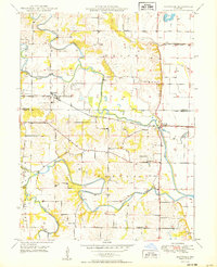
1950 · Maywood
USGS Topo · 1:24,000

1950 · Durham
USGS Topo · 1:24,000

1950 · Palmyra
USGS Topo · 1:24,000

1950 · Philadelphia
USGS Topo · 1:24,000