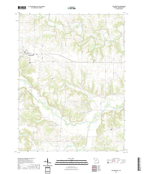
2021 Map of Philadelphia
USGS Topo · Published 2021About this map
The unincorporated community of Philadelphia serves as the central hub for this portion of Marion County, situated at the junction of Co RD 12 and Co RD 193. This rural landscape is deeply defined by its intricate drainage systems, most notably the winding path of the South Fabius River in the north and the North River to the south. The area's settlement history is etched into the terrain through several well-spaced burial grounds, including Philadelphia Cem, Little Union Cem, and Crane Cem, which provide critical reference points for local genealogists.
Find a feature on this map
52 named features on this map. Tap any name to fly to it.
Don’t see what you’re looking for? This feature index may not catch every label — zoom into the map to look around manually.
Map Details
Editions of this 2021 Philadelphia Map
This is the sole edition of this map. No revisions or reprints were ever made.
Other maps of this area

1903 · Palmyra
USGS Topo · 1:125,000

1948 · Quincy
USGS Topo · 1:250,000

1949 · Durham
USGS Topo · 1:24,000

1949 · Maywood
USGS Topo · 1:24,000

1949 · Palmyra
USGS Topo · 1:24,000

1949 · Philadelphia
USGS Topo · 1:24,000
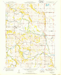
1950 · Maywood
USGS Topo · 1:24,000

1950 · Durham
USGS Topo · 1:24,000

1950 · Palmyra
USGS Topo · 1:24,000

1950 · Philadelphia
USGS Topo · 1:24,000