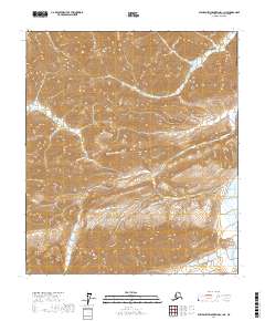
2017 Map of Philip Smith Mountains C-1 NE
USGS Topo · Published 2017About this map
Ribdon River and the Ivishak River dominate this portion of the Philip Smith Mountains, where the two drainages converge in the far northeastern corner of the Brooks Range. The topographic record shows a landscape defined by dramatic elevation changes, with the Ribdon River winding through narrow mountain corridors before meeting the broader valley of the Ivishak River. This area is characterized by the Public Land Survey System designations of t8s r20e, t8s r21e, t9s r21e, and t9s r22e, indicating its remote position within the North Slope Borough. The map provides a detailed look at the hydrology of these Arctic waterways at a time when digital elevation datasets and SPOT imagery were first being integrated into USGS topographic standards.
Find a feature on this map
6 named features on this map. Tap any name to fly to it.
Don’t see what you’re looking for? This feature index may not catch every label — zoom into the map to look around manually.
Map Details
Editions of this 2017 Philip Smith Mountains C-1 NE Map
This is the sole edition of this map. No revisions or reprints were ever made.
Other maps of this area

1951 · Brooks
USGS Topo · 1:250,000

1951 · Arctic
USGS Topo · 1:250,000

1956 · Arctic
USGS Topo · 1:250,000

1956 · Philip Smith Mountains
USGS Topo · 1:250,000

1964 · Philip Smith Mountains
USGS Topo · 1:250,000
1971 · Arctic D-5
USGS Topo · 1:63,360
1971 · Philip Smith Mountains C-1
USGS Topo · 1:63,360
1971 · Arctic C-5
USGS Topo · 1:63,360
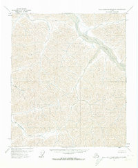
1971 · Philip Smith Mountains D-1
USGS Topo · 1:63,360
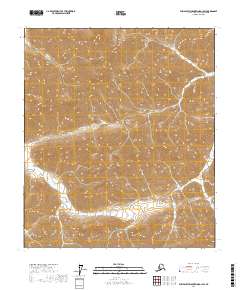
2017 · Philip Smith Mountains D-1 SW
USGS Topo · 1:25,000