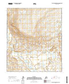
2017 Map of Philip Smith Mountains D-3 SW
USGS Topo · Published 2017About this map
The Ribbon River winds through this Arctic landscape, cutting a path through the interior of the North Slope. This 2017 survey by the U.S. Geological Survey details a remote region dominated by an intricate network of wetlands and tundra lakes. The braided channel of the Sagavanirktok River is visible at the southern edge of the sheet, illustrating the dynamic hydrology of the Alaskan wilderness. The map is defined by its topographic detail, marking elevations and drainage patterns across township boundaries like t7s r14e and t8s r15e. For those studying the hydrology of the North Slope, the interplay between the smaller tributaries and the primary river systems provides a clear record of the region's natural geography.
Find a feature on this map
8 named features on this map. Tap any name to fly to it.
Don’t see what you’re looking for? This feature index may not catch every label — zoom into the map to look around manually.
Map Details
Editions of this 2017 Philip Smith Mountains D-3 SW Map
This is the sole edition of this map. No revisions or reprints were ever made.
Other maps of this area

1951 · Brooks
USGS Topo · 1:250,000

1956 · Philip Smith Mountains
USGS Topo · 1:250,000

1964 · Philip Smith Mountains
USGS Topo · 1:250,000
1971 · Philip Smith Mountains D-3
USGS Topo · 1:63,360

1971 · Philip Smith Mountains C-4
USGS Topo · 1:63,360
1971 · Philip Smith Mountains C-3
USGS Topo · 1:63,360
1971 · Philip Smith Mountains D-4
USGS Topo · 1:63,360
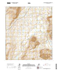
2017 · Philip Smith Mountains C-4 NE
USGS Topo · 1:25,000
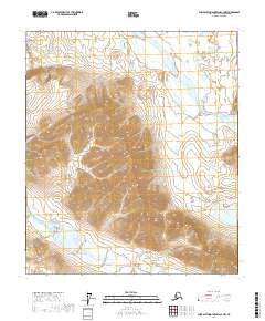
2017 · Philip Smith Mountains C-3 NW
USGS Topo · 1:25,000
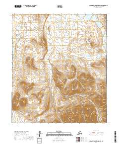
2017 · Philip Smith Mountains D-3 SE
USGS Topo · 1:25,000