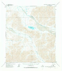
1971 Map of Philip Smith Mountains C-3
USGS Topo · Published 1973About this map
The Ribdon River dominates the northern reaches of this Arctic landscape, carving a wide braided path through the peaks of the northern Brooks Range. This 1970s survey captures a wilderness largely untouched by infrastructure, where the Bureau of Land Management had established predetermined but unsurveyed land lines. Centered on the map is Elusive Lake, a significant water body situated at the foot of several high ridges. The drainages of Accomplishment Creek and Section Creek illustrate a complex hydraulic network feeding into the larger river system. A solitary Cabin located north of the lake provides the only evidence of a human outpost in this expansive territory, likely serving as a shelter for early geological field parties or seasonal surveys in the Philip Smith Mountains.
Find a feature on this map
5 named features on this map. Tap any name to fly to it.
Don’t see what you’re looking for? This feature index may not catch every label — zoom into the map to look around manually.
Map Details
Editions of this 1971 Philip Smith Mountains C-3 Map
This is the sole edition of this map. No revisions or reprints were ever made.
Other maps of this area

1951 · Brooks
USGS Topo · 1:250,000

1956 · Philip Smith Mountains
USGS Topo · 1:250,000

1964 · Philip Smith Mountains
USGS Topo · 1:250,000
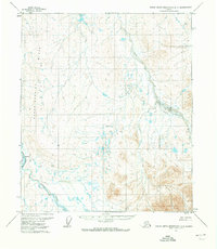
1971 · Philip Smith Mountains D-3
USGS Topo · 1:63,360

1971 · Philip Smith Mountains C-4
USGS Topo · 1:63,360
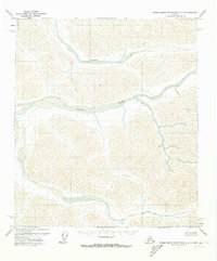
1971 · Philip Smith Mountains C-2
USGS Topo · 1:63,360
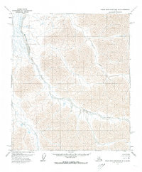
1971 · Philip Smith Mountains D-2
USGS Topo · 1:63,360
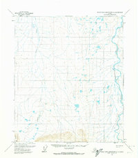
1971 · Philip Smith Mountains D-4
USGS Topo · 1:63,360

1971 · Philip Smith Mountains B-3
USGS Topo · 1:63,360
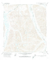
1971 · Philip Smith Mountains B-4
USGS Topo · 1:63,360