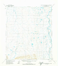
1971 Map of Philip Smith Mountains D-4
USGS Topo · Published 1974About this map
The Sagavanirktok River dominates the eastern edge of this 1970s North Slope survey, a massive braided waterway that historically served as a critical corridor for northern transit. This specific era of Alaskan mapping records the landscape as it appeared just as modern infrastructure began to penetrate the arctic interior. Running parallel to the river valley is a designated Winter Road, a seasonal transportation route essential for hauling supplies over the frozen tundra before the development of permanent all-weather highways. To the west, the Toolik River snakes through a complex network of thermokarst lakes and ponded wetlands, flanked by the rise of Imnavait Mtn in the southwest corner. The drainage patterns and topographic relief shown here reflect a permafrost-shaped environment where seasonal travel routes were often the only connection between remote arctic outposts.
Find a feature on this map
4 named features on this map. Tap any name to fly to it.
Don’t see what you’re looking for? This feature index may not catch every label — zoom into the map to look around manually.
Map Details
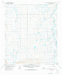
Editions of this 1971 Philip Smith Mountains D-4 Map
2 editions found
Other maps of this area

1951 · Sagavanirktok D-5
USGS Topo · 1:250,000

1951 · Brooks
USGS Topo · 1:250,000

1956 · Philip Smith Mountains
USGS Topo · 1:250,000

1956 · Sagavanirktok
USGS Topo · 1:250,000

1958 · Sagavanirktok
USGS Topo · 1:250,000

1964 · Philip Smith Mountains
USGS Topo · 1:250,000

1964 · Sagavanirktok
USGS Topo · 1:250,000
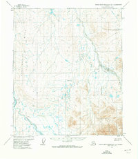
1971 · Philip Smith Mountains D-3
USGS Topo · 1:63,360

1971 · Philip Smith Mountains C-4
USGS Topo · 1:63,360
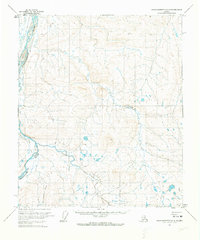
1971 · Sagavanirktok A-3
USGS Topo · 1:63,360