
1956 Map of Sagavanirktok
USGS Topo · Published 1961About this map
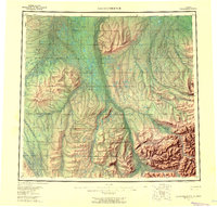
The Sagavanirktok River dominates this mid-1950s survey of Alaska's North Slope, carving a massive braided channel northward through the Arctic coastal plain. The landscape is defined by the striking relief of Franklin Bluffs and the White Hills, overlooking an intricate network of waterways including the Toolik River and the Kuparuk River. This map captures the region before the development of the Prudhoe Bay oil fields, when the only evidence of human passage across the tundra consisted of a seasonal Tractor Trail and a Winter Trail. In the southern reaches, the terrain rises toward Kakuktural Mtn, where the Ivishak River and Saviukviayak River emerge from the foothills. The presence of a Base Line survey marker and isolated features like Cache One Lake reflect early efforts by the Geological Survey and Army Map Service to document this remote interior.
Find a feature on this map
23 named features on this map. Tap any name to fly to it.
Don’t see what you’re looking for? This feature index may not catch every label — zoom into the map to look around manually.
Map Details
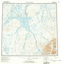
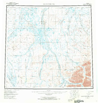
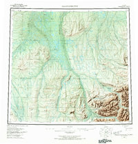
Editions of this 1956 Sagavanirktok Map
5 editions found
Other maps of this area

1951 · Harrison Bay
USGS Topo · 1:250,000

1951 · Beechey Point
USGS Topo · 1:250,000

1951 · Sagavanirktok D-5
USGS Topo · 1:250,000

1951 · Chandler Lake
USGS Topo · 1:250,000

1951 · Brooks
USGS Topo · 1:250,000

1951 · Arctic
USGS Topo · 1:250,000

1951 · Mt. Michelson
USGS Topo · 1:250,000

1952 · Umiat
USGS Topo · 1:250,000

1955 · Flaxman Island
USGS Topo · 1:250,000

1955 · Harrison Bay
USGS Topo · 1:250,000