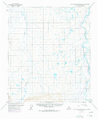
1971 Map of Philip Smith Mountains D-4
USGS Topo · Published 1977About this map
The Sagavanirktok River valley is documented here during a pivotal moment in the industrial development of the North Slope. Surveyed in 1971 and revised with 1975 aerial photography, the map highlights The Trans-Alaska Pipeline (Under Construction) as it moves through the Arctic landscape. The presence of a Pumping Station along the pipeline corridor reflects the massive infrastructure required to transport oil from the northern coast to southern ports.
Find a feature on this map
6 named features on this map. Tap any name to fly to it.
Don’t see what you’re looking for? This feature index may not catch every label — zoom into the map to look around manually.
Map Details
Editions of this 1971 Philip Smith Mountains D-4 Map
2 editions found
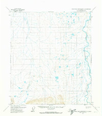
Other maps of this area

1951 · Sagavanirktok D-5
USGS Topo · 1:250,000

1951 · Brooks
USGS Topo · 1:250,000

1956 · Philip Smith Mountains
USGS Topo · 1:250,000

1956 · Sagavanirktok
USGS Topo · 1:250,000

1958 · Sagavanirktok
USGS Topo · 1:250,000

1964 · Philip Smith Mountains
USGS Topo · 1:250,000

1964 · Sagavanirktok
USGS Topo · 1:250,000
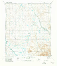
1971 · Philip Smith Mountains D-3
USGS Topo · 1:63,360

1971 · Philip Smith Mountains C-4
USGS Topo · 1:63,360
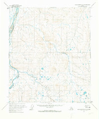
1971 · Sagavanirktok A-3
USGS Topo · 1:63,360