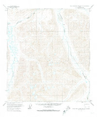
1971 Map of Philip Smith Mountains B-4
USGS Topo · Published 1974About this map
The Sagavanirktok River and Atigun River flow through this northern Alaskan landscape, documented just prior to the region's major industrial developments. The map reveals a transition between the high peaks and the braided river valleys, where seasonal routes like the Winter Trail provided the only overland access. Near the northwestern corner, Galbraith Lake sits as a significant landmark in a territory characterized by complex hydrology, including a natural Spring and a prominent Gorge along the river's upper reaches. This survey represents a period when the Bureau of Land Management predetermined land lines on paper for unsurveyed and unmarked locations, illustrating the administrative effort to organize the North Slope before extensive field checking was possible.
Find a feature on this map
6 named features on this map. Tap any name to fly to it.
Don’t see what you’re looking for? This feature index may not catch every label — zoom into the map to look around manually.
Map Details
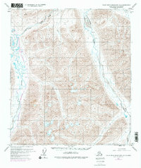
Editions of this 1971 Philip Smith Mountains B-4 Map
2 editions found
Other maps of this area

1951 · Brooks
USGS Topo · 1:250,000

1956 · Philip Smith Mountains
USGS Topo · 1:250,000

1964 · Philip Smith Mountains
USGS Topo · 1:250,000
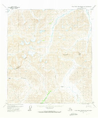
1971 · Philip Smith Mountains A-5
USGS Topo · 1:63,360
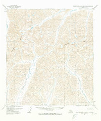
1971 · Philip Smith Mountains A-4
USGS Topo · 1:63,360

1971 · Philip Smith Mountains C-4
USGS Topo · 1:63,360
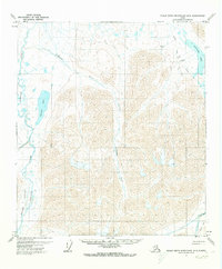
1971 · Philip Smith Mountains B-5
USGS Topo · 1:63,360
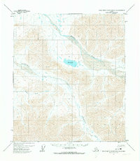
1971 · Philip Smith Mountains C-3
USGS Topo · 1:63,360

1971 · Philip Smith Mountains B-3
USGS Topo · 1:63,360
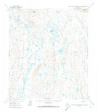
1971 · Philip Smith Mountains C-5
USGS Topo · 1:63,360