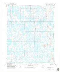
1955 Map of Teshekpuk B-4
USGS Topo · Published 1975About this map
Meandering arctic waterways dominate this 1955 landscape within the bounds of Naval Petroleum Reserve No. 4. The map illustrates a complex network of thaw lakes and braided streams, most notably the Chipp River, the Ikpikpuk River, and the Oumalik River. These rivers snake through the North Slope, revealing the dynamic hydrology of the permafrost environment during the mid-century period. Human presence is marked primarily by transportation routes adapted for the environment, including a significant Tractor Trail and an additional Trail cutting across the lake-strewn plains. These paths represent the early post-war infrastructure used for resource exploration and transit in one of the most northern reaches of Alaska.
Find a feature on this map
8 named features on this map. Tap any name to fly to it.
Don’t see what you’re looking for? This feature index may not catch every label — zoom into the map to look around manually.
Map Details
Editions of this 1955 Teshekpuk B-4 Map
2 editions found
Other maps of this area

1951 · Teshekpuk
USGS Topo · 1:250,000

1955 · Teshekpuk
USGS Topo · 1:250,000
1955 · Teshekpuk B-4
USGS Topo · 1:63,360
1955 · Teshekpuk A-3
USGS Topo · 1:63,360
1955 · Teshekpuk B-3
USGS Topo · 1:63,360

1955 · Teshekpuk C-3
USGS Topo · 1:63,360

1955 · Teshekpuk C-5
USGS Topo · 1:63,360

1955 · Teshekpuk C-4
USGS Topo · 1:63,360
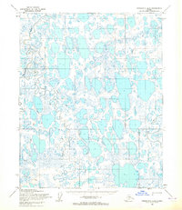
1955 · Teshekpuk A-5
USGS Topo · 1:63,360
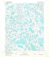
1955 · Teshekpuk A-4
USGS Topo · 1:63,360