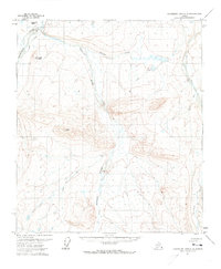
1971 Map of Chandler Lake C-2
USGS Topo · Published 1973About this map
The Anaktuvuk River and Kanayut River define this high-latitude drainage system, documented through aerial photography in the early 1970s. The landscape is characterized by prominent geological formations such as Kanayut Bluff and Naniksrak Mountain, alongside the distinctive Table Top plateau. This period of mapping shows a reliance on seasonal transport routes, with a marked Winter Road and several segments of Winter Trail cutting through the valleys and over ridges. These tracks represent the primary human imprint on a terrain otherwise dominated by natural drainage, including Willow Creek, Tundra Creek, and the headwaters of the Nanushuk River. The scarcity of permanent structures emphasizes the seasonal and itinerant nature of land use in this part of the North Slope during the late 20th century.
Find a feature on this map
10 named features on this map. Tap any name to fly to it.
Don’t see what you’re looking for? This feature index may not catch every label — zoom into the map to look around manually.
Map Details
Editions of this 1971 Chandler Lake C-2 Map
This is the sole edition of this map. No revisions or reprints were ever made.
Other maps of this area

1951 · Chandler Lake
USGS Topo · 1:250,000

1956 · Chandler Lake
USGS Topo · 1:250,000

1964 · Chandler Lake
USGS Topo · 1:250,000
1971 · Chandler Lake D-1
USGS Topo · 1:63,360
1971 · Chandler Lake D-2
USGS Topo · 1:63,360
1971 · Chandler Lake C-1
USGS Topo · 1:63,360
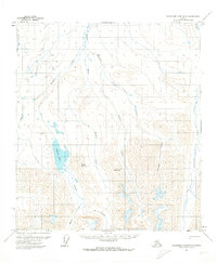
1971 · Chandler Lake B-2
USGS Topo · 1:63,360
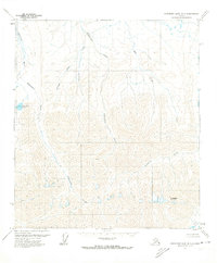
1971 · Chandler Lake B-1
USGS Topo · 1:63,360
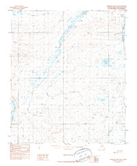
1987 · Chandler Lake D-3
USGS Topo · 1:63,360
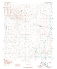
1987 · Chandler Lake C-3
USGS Topo · 1:63,360