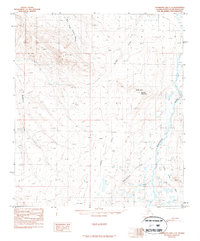
1987 Map of Chandler Lake C-3
USGS Topo · Published 1987About this map
Anaktuvuk River drainage patterns dominate this North Slope landscape, where the shifting channels of the eastern riverbed contrast with the deeply incised valleys of the central uplands. The terrain is defined by high peaks and ridges such as Sikpuk 3223 and the prominent Banded Mountain, which serves as a central landmark amidst a complex network of tributaries. These waters, including Terrace Creek and the West Fork Tuluga River, carve through the tundra, illustrating the geological processes of the Brooks Range foothills before the era of modern development. To the south, the level expanse of Flat 2842 provides a rare break in the high-relief topography. Compiled from 1978 aerial photography, this survey records the wilderness in its natural state, showing only a rudimentary Winter Trail as evidence of human passage through this remote Alaskan interior.
Find a feature on this map
9 named features on this map. Tap any name to fly to it.
Don’t see what you’re looking for? This feature index may not catch every label — zoom into the map to look around manually.
Map Details
Editions of this 1987 Chandler Lake C-3 Map
This is the sole edition of this map. No revisions or reprints were ever made.
Other maps of this area

1951 · Chandler Lake
USGS Topo · 1:250,000

1956 · Chandler Lake
USGS Topo · 1:250,000

1964 · Chandler Lake
USGS Topo · 1:250,000
1971 · Chandler Lake C-2
USGS Topo · 1:63,360
1971 · Chandler Lake D-2
USGS Topo · 1:63,360
1971 · Chandler Lake B-2
USGS Topo · 1:63,360
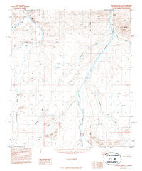
1987 · Chandler Lake C-4
USGS Topo · 1:63,360
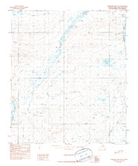
1987 · Chandler Lake D-3
USGS Topo · 1:63,360
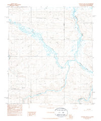
1987 · Chandler Lake D-4
USGS Topo · 1:63,360
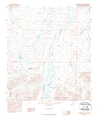
1987 · Chandler Lake B-3
USGS Topo · 1:63,360