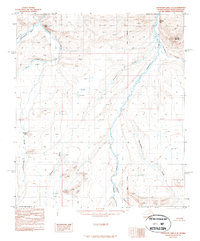
1987 Map of Chandler Lake C-4
USGS Topo · Published 1987About this map
Chandler River and the Siksikpuk River dominate this North Slope landscape, carving through a region defined by dramatic elevation changes and significant bluffs. Surveyed in the late 1970s and edited in 1987, the map shows a wilderness devoid of roads or permanent settlements, where topographic features like Tuktu Bluff and Sivugak Bluff serve as primary landmarks for navigation.
Find a feature on this map
19 named features on this map. Tap any name to fly to it.
Don’t see what you’re looking for? This feature index may not catch every label — zoom into the map to look around manually.
Map Details
Editions of this 1987 Chandler Lake C-4 Map
This is the sole edition of this map. No revisions or reprints were ever made.
Other maps of this area

1951 · Chandler Lake
USGS Topo · 1:250,000

1956 · Chandler Lake
USGS Topo · 1:250,000

1964 · Chandler Lake
USGS Topo · 1:250,000
1987 · Chandler Lake B-5
USGS Topo · 1:63,360
1987 · Chandler Lake D-3
USGS Topo · 1:63,360
1987 · Chandler Lake C-5
USGS Topo · 1:63,360
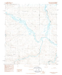
1987 · Chandler Lake D-4
USGS Topo · 1:63,360
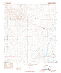
1987 · Chandler Lake C-3
USGS Topo · 1:63,360
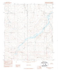
1987 · Chandler Lake D-5
USGS Topo · 1:63,360
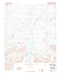
1987 · Chandler Lake B-3
USGS Topo · 1:63,360