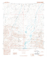
1987 Map of Chandler Lake B-5
USGS Topo · Published 1987About this map
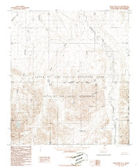
The Gates of the Arctic National Park Wilderness dominates this remote northern landscape, where complex drainage systems define the high-latitude terrain. Centered on the upper reaches of the Chandler River, the map captures a network of tributaries including Aucella Creek, Castle Creek, and the Kiruktagiak River. Significant water bodies like White Lake and Little Chandler Lake are positioned among steep elevation changes, providing critical reference points for navigation in a roadless wilderness.
Find a feature on this map
13 named features on this map. Tap any name to fly to it.
Don’t see what you’re looking for? This feature index may not catch every label — zoom into the map to look around manually.
Map Details
Editions of this 1987 Chandler Lake B-5 Map
This is the sole edition of this map. No revisions or reprints were ever made.
Other maps of this area

1951 · Chandler Lake
USGS Topo · 1:250,000

1951 · Killik River
USGS Topo · 1:250,000

1956 · Chandler Lake
USGS Topo · 1:250,000

1956 · Killik River
USGS Topo · 1:250,000

1964 · Chandler Lake
USGS Topo · 1:250,000
1986 · Killik River A-1
USGS Topo · 1:63,360
1986 · Chandler Lake A-5
USGS Topo · 1:63,360
1986 · Chandler Lake A-4
USGS Topo · 1:63,360
1986 · Killik River B-1
USGS Topo · 1:63,360
1986 · Killik River C-1
USGS Topo · 1:63,360