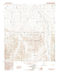
1986 Map of Killik River B-1
USGS Topo · Published 1986About this map
Gates of the Arctic National Park encompasses this high-latitude terrain within the North Slope Borough, where the Okokmilaga River and Okpikruak River flow northward toward the Arctic Ocean. The area is defined by the intersection of the Umiat Meridian and Kateel River Meridian, establishing a remote boundary within the Gates of the Arctic Wilderness. This 1980s landscape is devoid of roads or trails, characterized instead by a dense network of glacial and mountain drainages such as Tikmiakpaitk Creek and Inyugakuligit Creek. The mapping captures the Brooks Range foothills in a period after the passage of the Alaska National Interest Lands Conservation Act, which formalized the preservation of this vast watershed including the Middle Fork Okpikruak River.
Find a feature on this map
23 named features on this map. Tap any name to fly to it.
Don’t see what you’re looking for? This feature index may not catch every label — zoom into the map to look around manually.
Map Details
Editions of this 1986 Killik River B-1 Map
This is the sole edition of this map. No revisions or reprints were ever made.
Other maps of this area

1951 · Chandler Lake
USGS Topo · 1:250,000

1951 · Killik River
USGS Topo · 1:250,000

1956 · Chandler Lake
USGS Topo · 1:250,000

1956 · Killik River
USGS Topo · 1:250,000

1964 · Chandler Lake
USGS Topo · 1:250,000
1986 · Killik River A-2
USGS Topo · 1:63,360
1986 · Killik River B-2
USGS Topo · 1:63,360
1986 · Killik River C-2
USGS Topo · 1:63,360
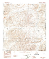
1986 · Killik River A-1
USGS Topo · 1:63,360
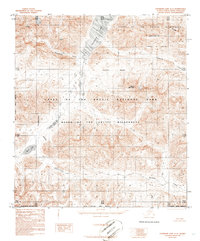
1986 · Chandler Lake A-5
USGS Topo · 1:63,360