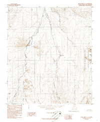
1986 Map of Killik River C-1
USGS Topo · Published 1986About this map
The Okokmilaga River flows through this 1980s landscape of the North Slope, shortly after the establishment of the Gates of the Arctic National Park and Gates of the Arctic Wilderness. The map reveals a highly structured drainage system defined by the Okpikruak River and its Middle Fork, which navigate around prominent topographical features like Sivogakruak Bluff. This provisional survey, compiled from 1973 aerial photography and edited in 1986, captures the northern interior before modern infrastructure, marked only by natural watercourses such as Verdant Creek, Pediment Creek, and Fortress Creek. The presence of the Canoe Hills and Akmaktaksrak Bluff provides a clear view of the landforms that define this sub-Arctic region, where isolated bodies of water like May Lake dot the permafrost-affected terrain.
Find a feature on this map
19 named features on this map. Tap any name to fly to it.
Don’t see what you’re looking for? This feature index may not catch every label — zoom into the map to look around manually.
Map Details
Editions of this 1986 Killik River C-1 Map
This is the sole edition of this map. No revisions or reprints were ever made.
Other maps of this area

1951 · Chandler Lake
USGS Topo · 1:250,000

1951 · Killik River
USGS Topo · 1:250,000

1956 · Chandler Lake
USGS Topo · 1:250,000

1956 · Killik River
USGS Topo · 1:250,000

1964 · Chandler Lake
USGS Topo · 1:250,000
1984 · Killik River D-2
USGS Topo · 1:63,360
1986 · Killik River B-2
USGS Topo · 1:63,360
1986 · Killik River C-2
USGS Topo · 1:63,360
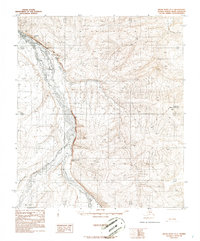
1986 · Killik River D-1
USGS Topo · 1:63,360
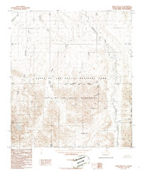
1986 · Killik River B-1
USGS Topo · 1:63,360