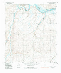
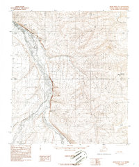
1984 Map of Killik River D-2
USGS Topo · Published 1984About this map
The Colville River carves through the northern reaches of the National Petroleum Reserve in Alaska, marking a landscape defined by significant Arctic waterways. This 1984 edition, based on aerial photography from the 1970s, captures the complex hydrology of the North Slope where the Killik River joins the main channel at Killik Bend. To the west, the Oolamnagavik River and its East Fork flow through terrain punctuated by the prominent Imnatchiak Bluff in the southeast. While largely devoid of permanent settlements, the presence of a single marked Trail and named drainages like Quandary Creek and Mayuasanik Creek reflect the sparse infrastructure and specific nomenclature used by surveyors and land managers at the time.
Find a feature on this map
11 named features on this map. Tap any name to fly to it.
Don’t see what you’re looking for? This feature index may not catch every label — zoom into the map to look around manually.
Map Details
Editions of this 1984 Killik River D-2 Map
This is the sole edition of this map. No revisions or reprints were ever made.
Other maps of this area

1951 · Ikpikpuk River
USGS Topo · 1:250,000

1951 · Killik River
USGS Topo · 1:250,000

1956 · Killik River
USGS Topo · 1:250,000

1956 · Ikpikpuk River
USGS Topo · 1:250,000

1984 · Ikpikpuk River A-3
USGS Topo · 1:63,360
1984 · Ikpikpuk River A-1
USGS Topo · 1:63,360

1984 · Ikpikpuk River A-2
USGS Topo · 1:63,360
1986 · Killik River C-2
USGS Topo · 1:63,360
1986 · Killik River C-3
USGS Topo · 1:63,360
1986 · Killik River D-1
USGS Topo · 1:63,360