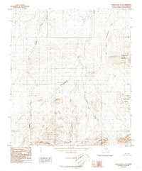
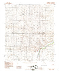
1986 Map of Killik River C-3
USGS Topo · Published 1986About this map
Oolamnagavik River flows through the center of this remote North Slope landscape, joined by the East Fork Oolamnagavik River in the northeast and Imnaitchiak Creek further south. The terrain is defined by dramatic elevation changes, notably at Pingaluligit Mountain and the Itkilikruich Ridges, which provide significant topographic relief against the surrounding drainage basins. This 1986 provisional edition, based on earlier aerial photography, captures the natural state of the Alaskan interior before any permanent road infrastructure was established in the quadrangle. Other prominent watercourses including Travelaia Creek and Heather Creek carve through the foothills, illustrating the complex hydrological network that dominates this part of the Arctic wilderness.
Find a feature on this map
12 named features on this map. Tap any name to fly to it.
Don’t see what you’re looking for? This feature index may not catch every label — zoom into the map to look around manually.
Map Details
Editions of this 1986 Killik River C-3 Map
This is the sole edition of this map. No revisions or reprints were ever made.
Other maps of this area

1951 · Killik River
USGS Topo · 1:250,000

1956 · Killik River
USGS Topo · 1:250,000
1984 · Killik River D-2
USGS Topo · 1:63,360
1986 · Killik River B-2
USGS Topo · 1:63,360
1986 · Killik River C-2
USGS Topo · 1:63,360
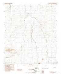
1986 · Killik River C-4
USGS Topo · 1:63,360
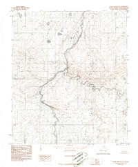
1986 · Killik River D-4
USGS Topo · 1:63,360
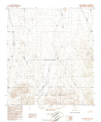
1986 · Killik River B-4
USGS Topo · 1:63,360
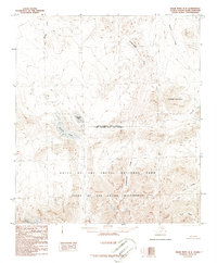
1986 · Killik River B-3
USGS Topo · 1:63,360
1986 · Killik River D-3
USGS Topo · 1:63,360