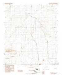
1986 Map of Killik River C-4
USGS Topo · Published 1986About this map
Kurupa River dominates this Arctic landscape, carving a wide path through the North Slope as it flowed in the mid-1970s. The drainage network is further defined by Nogak Creek and Outwash Creek, which cut through the high-latitude terrain. In the southwest corner, the Etivluk R appears, while Kucher Creek marks the western reaches of the quadrangle. This 1986 edition was compiled from 1973 aerial photography, capturing a transitional period of mapping in Alaska where high-precision topography began to document the complex hydrological patterns of the northern tundra before modern environmental shifts.
Find a feature on this map
11 named features on this map. Tap any name to fly to it.
Don’t see what you’re looking for? This feature index may not catch every label — zoom into the map to look around manually.
Map Details
Editions of this 1986 Killik River C-4 Map
This is the sole edition of this map. No revisions or reprints were ever made.
Other maps of this area

1951 · Killik River
USGS Topo · 1:250,000

1956 · Killik River
USGS Topo · 1:250,000
1984 · Killik River B-5
USGS Topo · 1:63,360

1984 · Killik River D-5
USGS Topo · 1:63,360
1984 · Killik River C-5
USGS Topo · 1:63,360
1986 · Killik River C-3
USGS Topo · 1:63,360
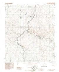
1986 · Killik River D-4
USGS Topo · 1:63,360
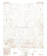
1986 · Killik River B-4
USGS Topo · 1:63,360
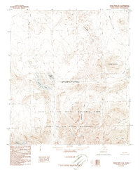
1986 · Killik River B-3
USGS Topo · 1:63,360
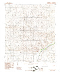
1986 · Killik River D-3
USGS Topo · 1:63,360