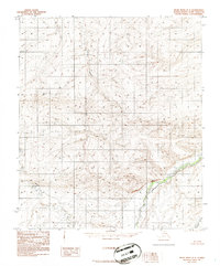
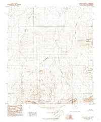
1986 Map of Killik River D-3
USGS Topo · Published 1986About this map
Oolamnagavik River dominates the southeastern quadrant of this 1980s landscape, winding through a complex network of glacial and alluvial terrain in northern Alaska. The map, compiled from 1973 aerial photography, illustrates a vast, uninhabited watershed where unnamed ridges and valleys are defined by the paths of Aupuk Creek and Heather Creek. A significant confluence occurs where the East Fork Oolamnagavik River joins the main stem, highlighting the drainage patterns essential for navigation and survival in this Arctic environment. These topographical details reflect the state of the terrain as it was recorded before modern shifts in permafrost and drainage, providing a baseline for environmental study and geographic history in the North Slope Borough.
Find a feature on this map
4 named features on this map. Tap any name to fly to it.
Don’t see what you’re looking for? This feature index may not catch every label — zoom into the map to look around manually.
Map Details
Editions of this 1986 Killik River D-3 Map
This is the sole edition of this map. No revisions or reprints were ever made.
Other maps of this area

1951 · Ikpikpuk River
USGS Topo · 1:250,000

1951 · Killik River
USGS Topo · 1:250,000

1956 · Killik River
USGS Topo · 1:250,000

1956 · Ikpikpuk River
USGS Topo · 1:250,000
1984 · Killik River D-2
USGS Topo · 1:63,360
1984 · Ikpikpuk River A-4
USGS Topo · 1:63,360

1984 · Ikpikpuk River A-3
USGS Topo · 1:63,360

1984 · Ikpikpuk River A-2
USGS Topo · 1:63,360
1986 · Killik River C-2
USGS Topo · 1:63,360
1986 · Killik River C-3
USGS Topo · 1:63,360