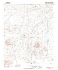
1987 Map of Chandler Lake C-5
USGS Topo · Published 1987About this map
Gates of the Arctic National Park and the adjacent Gates of the Arctic Wilderness dominate this remote North Slope landscape as surveyed in the late 1970s. The terrain is defined by massive formations like Hatbox Mesa and peaks such as Fortress Mountain and Castle Mountain, which rise above the complex network of Arctic drainages. This environment is shaped by the flow of the Ayiyak River, Kiruktagiak River, and the headwaters of the Chandler River. While human infrastructure is nearly absent, the presence of a Winter Trail indicates the seasonal routes used for travel across this high-latitude wilderness. Smaller landmarks such as May Lake and the distinctive Horseshoe Mountain provide essential orientation points for those navigating the Canoe Hills region.
Find a feature on this map
18 named features on this map. Tap any name to fly to it.
Don’t see what you’re looking for? This feature index may not catch every label — zoom into the map to look around manually.
Map Details
Editions of this 1987 Chandler Lake C-5 Map
This is the sole edition of this map. No revisions or reprints were ever made.
Other maps of this area

1951 · Chandler Lake
USGS Topo · 1:250,000

1951 · Killik River
USGS Topo · 1:250,000

1956 · Chandler Lake
USGS Topo · 1:250,000

1956 · Killik River
USGS Topo · 1:250,000

1964 · Chandler Lake
USGS Topo · 1:250,000
1986 · Killik River D-1
USGS Topo · 1:63,360
1986 · Killik River B-1
USGS Topo · 1:63,360
1986 · Killik River C-1
USGS Topo · 1:63,360
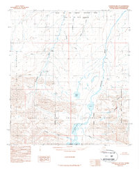
1987 · Chandler Lake B-5
USGS Topo · 1:63,360
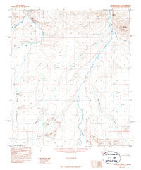
1987 · Chandler Lake C-4
USGS Topo · 1:63,360