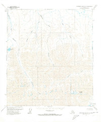
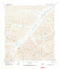
1971 Map of Chandler Lake B-1
USGS Topo · Published 1974About this map
Thibodeaux Mountain stands as a prominent landmark in this 1970s survey of Alaska's North Slope, where the drainage patterns of the Brooks Range foothills are meticulously detailed. The landscape is defined by the northward flow of the Nanushuk River and its numerous tributaries, including Kuhsuman Creek and Cobblestone Creek. This topographic study reveals a primitive wilderness devoid of roads or trails, where the Oolah Valley and Nanushuk Lake mark the transition between high ridges and lower river basins.
Find a feature on this map
10 named features on this map. Tap any name to fly to it.
Don’t see what you’re looking for? This feature index may not catch every label — zoom into the map to look around manually.
Map Details
Editions of this 1971 Chandler Lake B-1 Map
This is the sole edition of this map. No revisions or reprints were ever made.
Other maps of this area

1951 · Chandler Lake
USGS Topo · 1:250,000

1951 · Brooks
USGS Topo · 1:250,000

1956 · Philip Smith Mountains
USGS Topo · 1:250,000

1956 · Chandler Lake
USGS Topo · 1:250,000

1964 · Philip Smith Mountains
USGS Topo · 1:250,000

1964 · Chandler Lake
USGS Topo · 1:250,000
1971 · Philip Smith Mountains A-5
USGS Topo · 1:63,360
1971 · Chandler Lake A-2
USGS Topo · 1:63,360
1971 · Chandler Lake C-2
USGS Topo · 1:63,360
1971 · Chandler Lake A-1
USGS Topo · 1:63,360