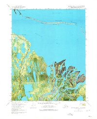
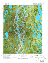
1970 Map of Beechey Point B-4 NE
USGS Topo · Published 1974About this map
The Kuparuk River delta dominates this orthophotomap of Alaska's North Slope, showing the intricate network of channels and wetlands as they met the Beaufort Sea in 1970. This specific survey captures the early footprint of industrial activity in the region, notably marking the Kup River State No 1 site. The landscape is a complex coastal environment defined by Gwydyr Bay and a protective chain of barrier features including Long Island, Cottle Island, and the Return Islands. A solitary Winter Trail provides the only recorded land route across the marshy terrain near Back Point, illustrating the seasonal nature of transit in this Arctic environment before more permanent infrastructure was established. The map's photographic base provides an unusually clear view of the braided river mouths and the shifting sands of the northern coastline.
Find a feature on this map
11 named features on this map. Tap any name to fly to it.
Don’t see what you’re looking for? This feature index may not catch every label — zoom into the map to look around manually.
Map Details
Editions of this 1970 Beechey Point B-4 NE Map
2 editions found
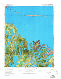
Other maps of this area

1951 · Beechey Point
USGS Topo · 1:250,000

1955 · Beechey Point
USGS Topo · 1:250,000
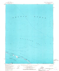
1955 · Beechey Point C-4
USGS Topo · 1:63,360

1955 · Beechey Point B-4
USGS Topo · 1:63,360

1955 · Beechey Point B-3
USGS Topo · 1:63,360

1960 · Beechey Point
USGS Topo · 1:250,000

1962 · Beechey Point B-4
USGS Topo · 1:50,000
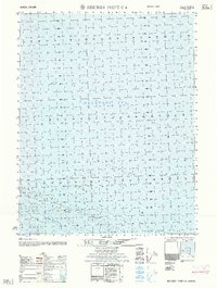
1962 · Beechey Point C-4
USGS Topo · 1:50,000

1964 · Beechey Point
USGS Topo · 1:250,000
1970 · Beechey Point B-4 SE
USGS Topo · 1:24,000