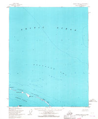
1955 Map of Beechey Point C-4
USGS Topo · Published 1967About this map
The Jones Islands chain forms a protective barrier along the North Slope of Alaska, separating the open waters of the Beaufort Sea and the Arctic Ocean from the sheltered Simpson Lagoon. This mid-century survey reveals the precise coastal geography of the barrier islands, including Pingok Island, Bertoncini Island, Bodfish Island, and the elongated Cottle Island. The coastline is further defined by Kavearak Point, which extends into the lagoon from the mainland. The map reflects a remote and largely unsettled maritime environment, focused on the bathymetry and topography of these landforms before significant modern industrial development altered the human footprint on the North Slope. These hydrographic details were compiled from Coast and Geodetic Survey charts, offering a snapshot of this extreme northern landscape during the mid-1950s.
Find a feature on this map
9 named features on this map. Tap any name to fly to it.
Don’t see what you’re looking for? This feature index may not catch every label — zoom into the map to look around manually.
Map Details
Editions of this 1955 Beechey Point C-4 Map
2 editions found
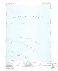
Other maps of this area

1951 · Beechey Point
USGS Topo · 1:250,000

1955 · Beechey Point
USGS Topo · 1:250,000

1955 · Beechey Point B-4
USGS Topo · 1:63,360
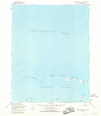
1955 · Beechey Point C-5
USGS Topo · 1:63,360

1955 · Beechey Point B-5
USGS Topo · 1:63,360

1955 · Beechey Point B-3
USGS Topo · 1:63,360

1960 · Beechey Point
USGS Topo · 1:250,000

1962 · Beechey Point B-4
USGS Topo · 1:50,000
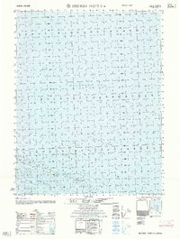
1962 · Beechey Point C-4
USGS Topo · 1:50,000

1964 · Beechey Point
USGS Topo · 1:250,000