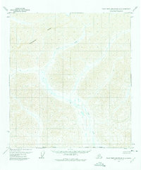
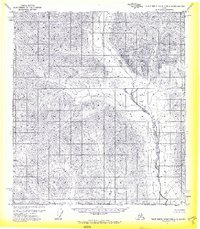
1971 Map of Philip Smith Mountains A-3
USGS Topo · Published 1975About this map
The Continental Divide defines the hydrological spine of this high-latitude terrain, where waters separate toward the North Slope. Winding through the central and southern valleys, Your Creek serves as the primary drainage for the area, its path captured via photogrammetric methods from aerial photographs taken in 1970. This 1:63,360 scale study illustrates a landscape where human influence is minimal, marked primarily by the administrative lines of the Borough Boundary and the South Boundary Umiat Meridian. The map captures a transition point in the mapping of northern Alaska, reflecting land lines that at the time represented unsurveyed and unmarked locations predetermined by the Bureau of Land Management.
Find a feature on this map
4 named features on this map. Tap any name to fly to it.
Don’t see what you’re looking for? This feature index may not catch every label — zoom into the map to look around manually.
Map Details
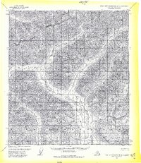
Editions of this 1971 Philip Smith Mountains A-3 Map
2 editions found
Other maps of this area

1951 · Chandalar
USGS Topo · 1:250,000

1951 · Brooks
USGS Topo · 1:250,000

1956 · Chandalar
USGS Topo · 1:250,000

1956 · Philip Smith Mountains
USGS Topo · 1:250,000

1964 · Chandalar
USGS Topo · 1:250,000

1964 · Philip Smith Mountains
USGS Topo · 1:250,000
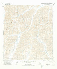
1971 · Philip Smith Mountains A-4
USGS Topo · 1:63,360
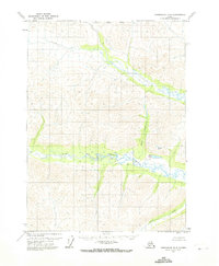
1971 · Chandalar D-4
USGS Topo · 1:63,360
1971 · Philip Smith Mountains A-2
USGS Topo · 1:63,360

1971 · Philip Smith Mountains B-3
USGS Topo · 1:63,360