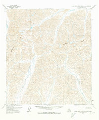
1971 Map of Philip Smith Mountains A-4
USGS Topo · Published 1973About this map
The Continental Divide winds across this high-altitude landscape of the Brooks Range, marking the fundamental hydraulic boundary of the Arctic North Slope. This 1971 survey details the upper reaches of the North Fork Chandalar River, which flows southward through a network of steep-sided valleys and glacial-carved drainages. The area is defined by its topographic severity and the total absence of established infrastructure, roads, or permanent settlements during the early 1970s.
Find a feature on this map
3 named features on this map. Tap any name to fly to it.
Don’t see what you’re looking for? This feature index may not catch every label — zoom into the map to look around manually.
Map Details
Editions of this 1971 Philip Smith Mountains A-4 Map
2 editions found
Other maps of this area

1951 · Chandalar
USGS Topo · 1:250,000

1951 · Brooks
USGS Topo · 1:250,000

1956 · Chandalar
USGS Topo · 1:250,000

1956 · Philip Smith Mountains
USGS Topo · 1:250,000

1964 · Chandalar
USGS Topo · 1:250,000

1964 · Philip Smith Mountains
USGS Topo · 1:250,000
1971 · Philip Smith Mountains A-5
USGS Topo · 1:63,360
1971 · Chandalar D-5
USGS Topo · 1:63,360
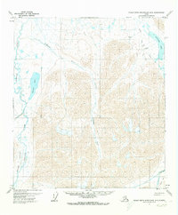
1971 · Philip Smith Mountains B-5
USGS Topo · 1:63,360
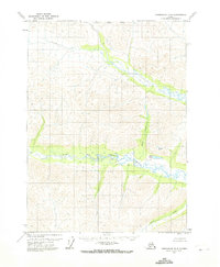
1971 · Chandalar D-4
USGS Topo · 1:63,360