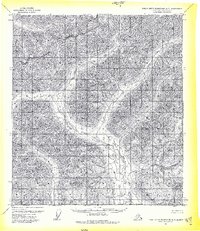
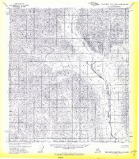
1971 Map of Philip Smith Mountains A-3
USGS Topo · Published 1974About this map
The Continental Divide dictates the flow of water across this high-latitude terrain, marking the fundamental drainage separation in the Brooks Range. Flowing through the central portion of the quadrangle, Your Creek represents one of the few named watercourses in this isolated landscape. This 1971 survey, based on aerial photography from the previous year, highlights a region characterized by its lack of established infrastructure, noting that no roads or trails existed in the area at the time of publication. The southern edge of the sheet is defined by the South Boundary Umiat Meridian, a critical reference point for the Bureau of Land Management in managing these unsurveyed and unmarked land lines.
Find a feature on this map
3 named features on this map. Tap any name to fly to it.
Don’t see what you’re looking for? This feature index may not catch every label — zoom into the map to look around manually.
Map Details
Editions of this 1971 Philip Smith Mountains A-3 Map
2 editions found
Other maps of this area

1951 · Chandalar
USGS Topo · 1:250,000

1951 · Brooks
USGS Topo · 1:250,000

1956 · Chandalar
USGS Topo · 1:250,000

1956 · Philip Smith Mountains
USGS Topo · 1:250,000

1964 · Chandalar
USGS Topo · 1:250,000

1964 · Philip Smith Mountains
USGS Topo · 1:250,000
1971 · Philip Smith Mountains A-4
USGS Topo · 1:63,360
1971 · Chandalar D-4
USGS Topo · 1:63,360
1971 · Philip Smith Mountains A-2
USGS Topo · 1:63,360

1971 · Philip Smith Mountains B-3
USGS Topo · 1:63,360