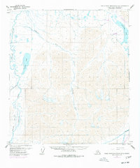
1971 Map of Philip Smith Mountains B-5
USGS Topo · Published 1977About this map
The Trans-Alaska Pipeline emerges as a defining feature of this North Slope landscape, shown here during its 1970s development. The purple revisions on this sheet specifically track the progress of The Trans-Alaska Pipeline (Under Construction) as it moves toward the Atigun River and south into the mountains. This infrastructure arrival transforms a region previously defined by remote waterways and traditional routes like the Winter Trail.
Find a feature on this map
14 named features on this map. Tap any name to fly to it.
Don’t see what you’re looking for? This feature index may not catch every label — zoom into the map to look around manually.
Map Details
Editions of this 1971 Philip Smith Mountains B-5 Map
3 editions found
Other maps of this area

1951 · Chandler Lake
USGS Topo · 1:250,000

1951 · Brooks
USGS Topo · 1:250,000

1956 · Philip Smith Mountains
USGS Topo · 1:250,000

1956 · Chandler Lake
USGS Topo · 1:250,000

1964 · Philip Smith Mountains
USGS Topo · 1:250,000

1964 · Chandler Lake
USGS Topo · 1:250,000
1971 · Philip Smith Mountains A-5
USGS Topo · 1:63,360
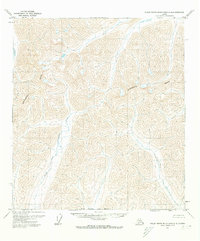
1971 · Philip Smith Mountains A-4
USGS Topo · 1:63,360

1971 · Philip Smith Mountains C-4
USGS Topo · 1:63,360
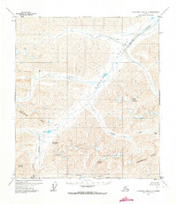
1971 · Chandler Lake A-1
USGS Topo · 1:63,360