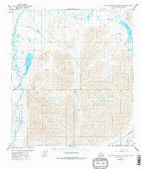
1971 Map of Philip Smith Mountains B-5
USGS Topo · Published 1977About this map
Galbraith Lake Camp and the construction of the Trans-Alaska Pipeline define this 1970s survey of Alaska's North Slope. The map documents a pivotal moment in the region's industrial history, showing the infrastructure required for the pipeline's progress through the Brooks Range foothills. The Galbraith Lake Airport and various Borrow Pits highlight the logistical footprint of this era's engineering efforts.
Find a feature on this map
13 named features on this map. Tap any name to fly to it.
Don’t see what you’re looking for? This feature index may not catch every label — zoom into the map to look around manually.
Map Details
Editions of this 1971 Philip Smith Mountains B-5 Map
3 editions found
Other maps of this area

1951 · Chandler Lake
USGS Topo · 1:250,000

1951 · Brooks
USGS Topo · 1:250,000

1956 · Philip Smith Mountains
USGS Topo · 1:250,000

1956 · Chandler Lake
USGS Topo · 1:250,000

1964 · Philip Smith Mountains
USGS Topo · 1:250,000

1964 · Chandler Lake
USGS Topo · 1:250,000
1971 · Philip Smith Mountains A-5
USGS Topo · 1:63,360
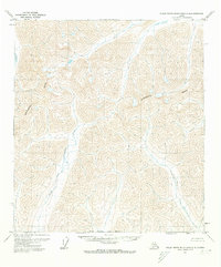
1971 · Philip Smith Mountains A-4
USGS Topo · 1:63,360

1971 · Philip Smith Mountains C-4
USGS Topo · 1:63,360
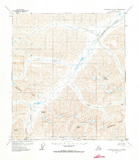
1971 · Chandler Lake A-1
USGS Topo · 1:63,360