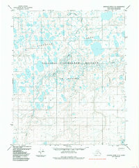
1985 Map of Ikpikpuk River C-2
USGS Topo · Published 1985About this map
The National Petroleum Reserve in Alaska dominates this 1985 topographic study of the North Slope, revealing a landscape defined by complex hydrological patterns and permafrost features. The northern portion of the map is characterized by the Koluktak Lakes, a dense network of thermokarst basins and oriented lakes typical of the Arctic coastal plain. The Price River and Wolf Creek meander across the terrain, illustrating the intricate drainage systems that develop in this low-relief environment. A solitary Tractor Trail provides the only evidence of overland transit in this remote region, likely serving exploration or subsistence activities. Smaller waterways like Alice Creek and Wolf Cr further subdivide the tundra, highlighting the extreme density of water bodies that characterize this protected federal reserve.
Find a feature on this map
7 named features on this map. Tap any name to fly to it.
Don’t see what you’re looking for? This feature index may not catch every label — zoom into the map to look around manually.
Map Details
Editions of this 1985 Ikpikpuk River C-2 Map
This is the sole edition of this map. No revisions or reprints were ever made.
Other maps of this area

1951 · Ikpikpuk River
USGS Topo · 1:250,000

1956 · Ikpikpuk River
USGS Topo · 1:250,000
1984 · Ikpikpuk River D-3
USGS Topo · 1:63,360
1984 · Ikpikpuk River D-1
USGS Topo · 1:63,360
1984 · Ikpikpuk River D-2
USGS Topo · 1:63,360
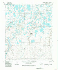
1985 · Ikpikpuk River C-1
USGS Topo · 1:63,360

1985 · Ikpikpuk River B-3
USGS Topo · 1:63,360
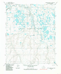
1985 · Ikpikpuk River C-3
USGS Topo · 1:63,360
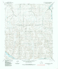
1985 · Ikpikpuk River B-2
USGS Topo · 1:63,360
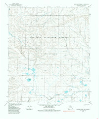
1985 · Ikpikpuk River B-1
USGS Topo · 1:63,360