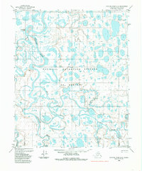
1984 Map of Ikpikpuk River D-3
USGS Topo · Published 1985About this map
The National Petroleum Reserve in Alaska dominates this landscape of the North Slope, where the intricate hydrology of the Arctic coastal plain is on full display. The Ikpikpuk River snakes across the terrain, joined by the Titaluk River and the meandering Price River, creating a complex network of oxbows and cutoffs like the distinctive Semiutak Bend. Surveyed in the early 1970s and edited in the mid-1980s, the map identifies specific geographic markers such as Eade, Fact, and Cial. Beyond the waterways, the presence of a Tractor Trail cutting through the lake-dotted tundra indicates the specialized transportation methods required for navigation and resource exploration in this remote northern borough.
Find a feature on this map
11 named features on this map. Tap any name to fly to it.
Don’t see what you’re looking for? This feature index may not catch every label — zoom into the map to look around manually.
Map Details
Editions of this 1984 Ikpikpuk River D-3 Map
This is the sole edition of this map. No revisions or reprints were ever made.
Other maps of this area

1951 · Teshekpuk
USGS Topo · 1:250,000

1951 · Ikpikpuk River
USGS Topo · 1:250,000

1955 · Teshekpuk
USGS Topo · 1:250,000
1955 · Teshekpuk A-2
USGS Topo · 1:63,360
1955 · Teshekpuk A-3
USGS Topo · 1:63,360
1955 · Teshekpuk A-4
USGS Topo · 1:63,360

1956 · Ikpikpuk River
USGS Topo · 1:250,000

1964 · Teshekpuk
USGS Topo · 1:250,000
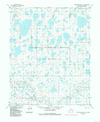
1984 · Ikpikpuk River D-2
USGS Topo · 1:63,360
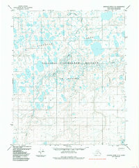
1985 · Ikpikpuk River C-2
USGS Topo · 1:63,360