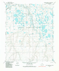
1985 Map of Ikpikpuk River C-3
USGS Topo · Published 1985About this map
Koluktak Lakes dominate this Arctic landscape, forming an intricate network of water bodies across the tundra of the National Petroleum Reserve in Alaska. The terrain is defined by low relief and expansive wetlands, where the Ikpikpuk River and Fry Creek meander through unsurveyed land lines. A single Tractor Trail provides a rare trace of human passage through this remote northern environment. This 1985 edition, based on aerial photography from the early 1970s, captures the region's hydrography before modern climate shifts began significantly altering permafrost and lake levels. The map highlights the vast, interconnected nature of the North Slope's aquatic systems, where land and water blur into a complex mosaic of thaw lakes and small stream drainages.
Find a feature on this map
11 named features on this map. Tap any name to fly to it.
Don’t see what you’re looking for? This feature index may not catch every label — zoom into the map to look around manually.
Map Details
Editions of this 1985 Ikpikpuk River C-3 Map
This is the sole edition of this map. No revisions or reprints were ever made.
Other maps of this area

1951 · Ikpikpuk River
USGS Topo · 1:250,000

1956 · Ikpikpuk River
USGS Topo · 1:250,000
1984 · Ikpikpuk River D-3
USGS Topo · 1:63,360
1984 · Ikpikpuk River D-2
USGS Topo · 1:63,360
1985 · Ikpikpuk River B-4
USGS Topo · 1:63,360

1985 · Ikpikpuk River B-3
USGS Topo · 1:63,360
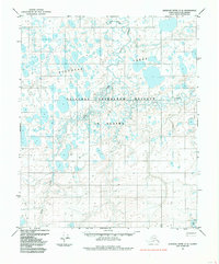
1985 · Ikpikpuk River C-2
USGS Topo · 1:63,360
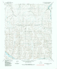
1985 · Ikpikpuk River B-2
USGS Topo · 1:63,360
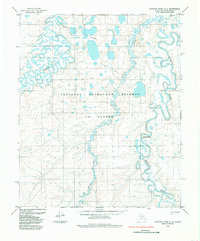
1985 · Ikpikpuk River C-4
USGS Topo · 1:63,360
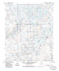
1985 · Ikpikpuk River D-4
USGS Topo · 1:63,360